The Future of ISR Mission Software

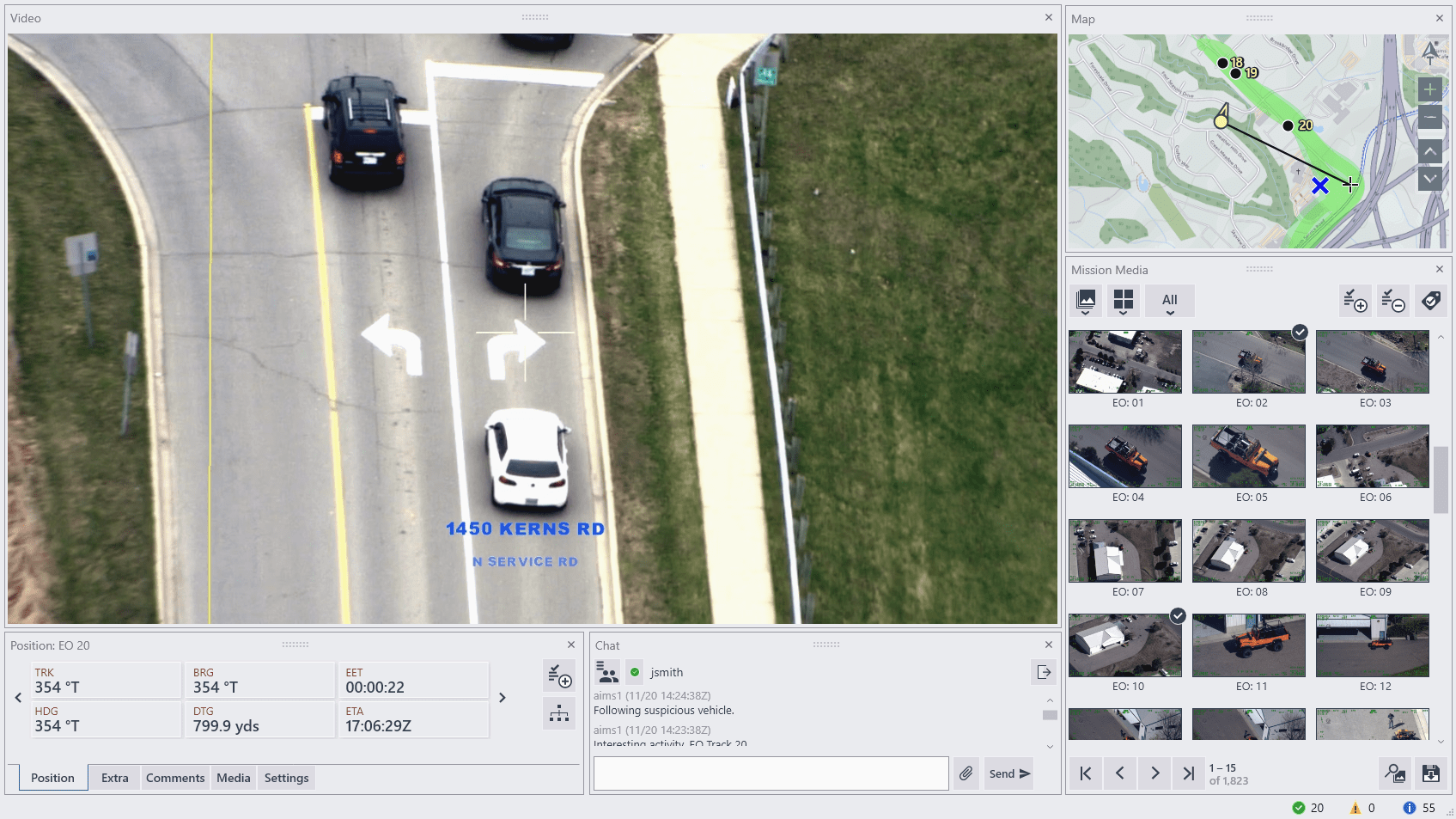
AIMS-ISR
A Complete Mission Data Lifecycle
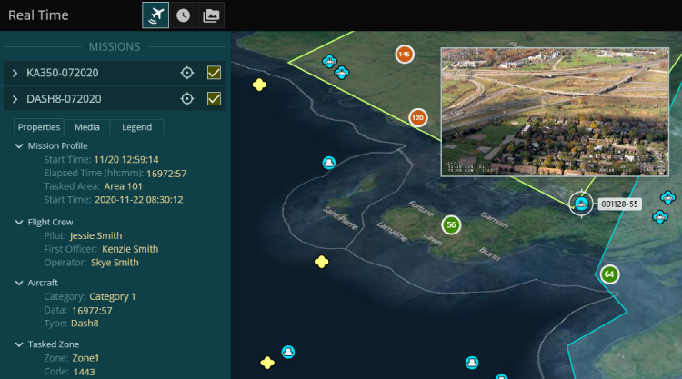
AIMS-C4 / Mission Dashboard

Setting the new standard for real-time and historical ISR mission data in a Common Operating Picture.
About AIMS-C4
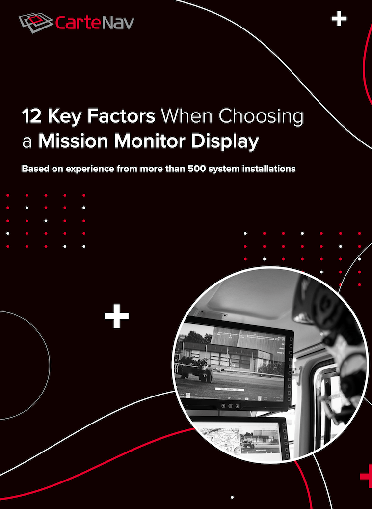
12 Key Factors to Consider When Choosing a Mission Monitor Display
Based on experience from more than 500 system installations


Your Mission First. Always.
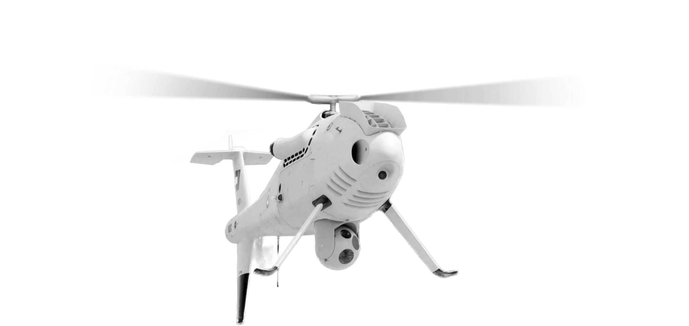
Never compromise. CarteNav’s ISR Mission Software is designed to seamlessly integrate with any sensor for any mission – providing integrators and operators around the world maximum flexibility & choice.
500+ Customer Installations
in over 40 countries operating today's
complex ISR operations.


ANY Platform | Sensor | Mission
CarteNav understands that our customer's mission requirements always come first. That’s why our ISR Mission Software utilizes a unique modular plugin architecture for intuitive sensor interfaces that never get in the way – enabling maximum flexibility of integration.
Global ISR Training and Support Network
With a global 24/7 technical helpline, dedicated project management team, and in-person ISR training, CarteNav is your trusted partner for ISR mission success.
Get Support
AIMS-ISR allows us to easily manage multiple AIS tracks and automatically slew and cue the turret to targets of interest. We can also use filters to display what we need to see in the Local Operating Picture (LOP). Whilst using AIMS-ISR the workload of the operator is greatly reduced which in turn reduces fatigue.
S-100 UAS Pilot – Royal Australian Navy